
3D Drone Survey
Capturing Precision, One Flight at a Time
Uplift Your Perspective with 3D Drone Surveys
Experience the power of precision with Bidston Draughting LTD’s innovative 3D drone survey services. Our expertise lies in capturing detailed, high-resolution aerial data that sets the standard for accuracy. Leveraging cutting-edge drones fitted with advanced sensors and imaging technology, our experienced pros deliver precise measurements and high-quality photos for projects of all sizes. The result? High-quality 3D models, maps, and digital terrain data that enable you to make informed decisions.
Serving diverse industries like agriculture and construction, we offer customised solutions that align with your needs. Our 3D drone surveying helps architects, engineers, developers, and property managers get a thorough understanding of their sites. By collaborating with us, you can streamline planning processes, mitigate risks, and improve project efficiency. Let’s connect and take your project to the next level.
Fill Up the Form
Our Drone 3D Mapping Services
Throughout London, we offer a wide range of 3D drone mapping and surveying solutions that deliver precise aerial data and imagery for a range of projects.
- 3D Point Clouds and Modelling: Developing interactive 3D digital twins for structural analysis and site planning.
- Topographic Mapping and Modelling: Generating high-accuracy digital terrain models (DTMs) for site surveys and excavation planning.
- Progress Monitoring: Using time-series 3D modelling to track project progress and compare it with BIM models.
- 2D Orthomosaics: Generating high-resolution, georeferenced aerial maps for proper site measurement and visual inspections.
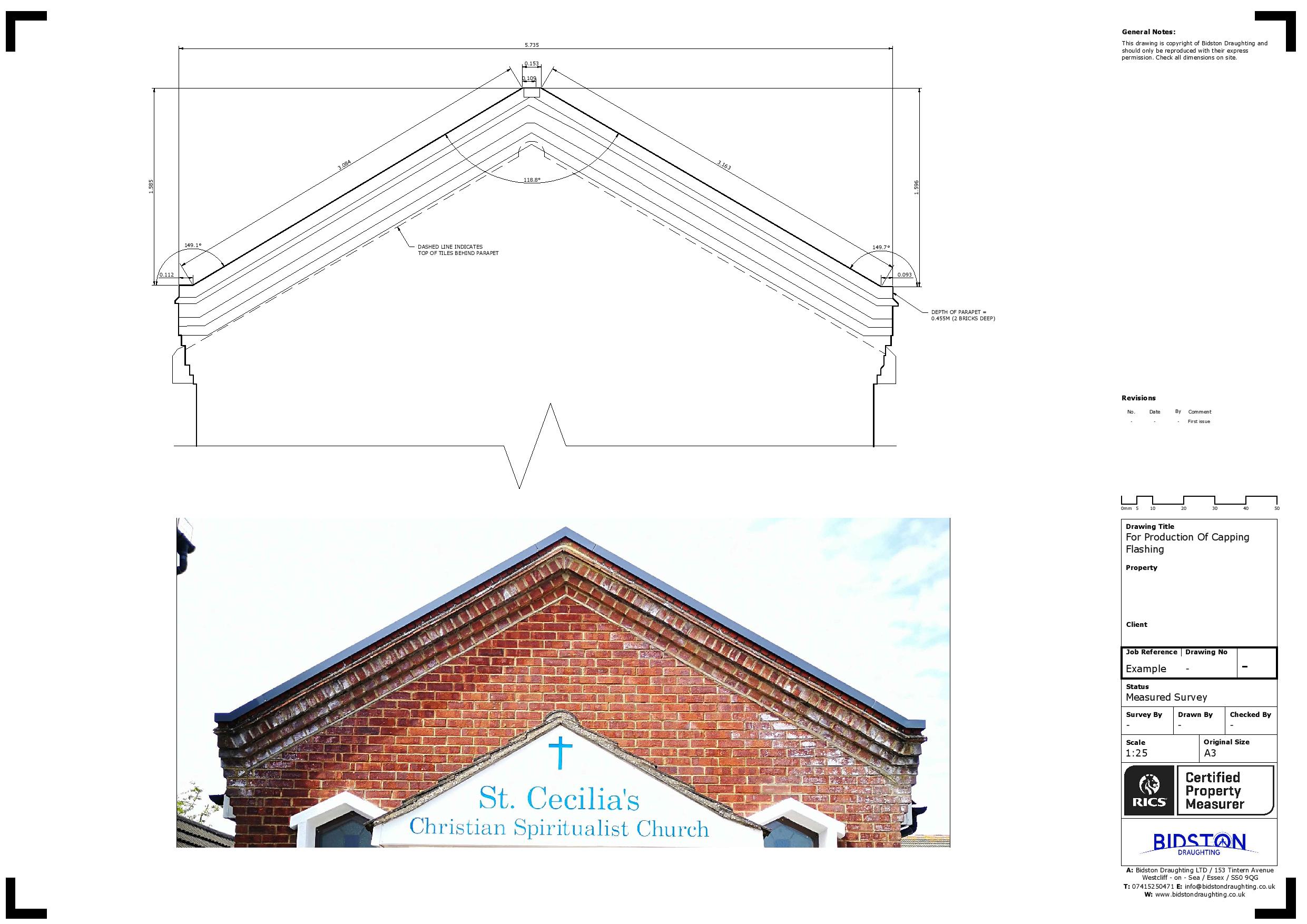
- Roof and Facade Inspections: Identifying maintenance needs on high-rise and hard-to-reach sites.

What Does Our 3D Drone Survey Process Involve?
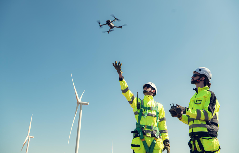
We follow a structured workflow to capture high-resolution aerial imagery or laser data and transform it into an intricate 3-dimensional digital model. This process includes:
Project Consultation
Get in touch with our friendly staff to discuss your project objectives. We will assess the site, determine the required accuracy, and map the flight paths.
Ground Control Station Setup
We establish Ground Control Points (GCPs) and checkpoints on the ground, using a GNSS receiver for precise georeferencing. This improves the final model’s accuracy.
Data Acquisition (Fieldwork)
Our licenced pilot operates a drone along a pre-programmed route to capture high-resolution, overlapping images from different angles for 3D construction.
Data Processing and Modelling
We upload raw images and data into advanced software (e.g., Pix4D, Agisoft) to generate, stitch and align photos into a 3D model, point cloud, or 3D mesh.
Analysis and Delivery
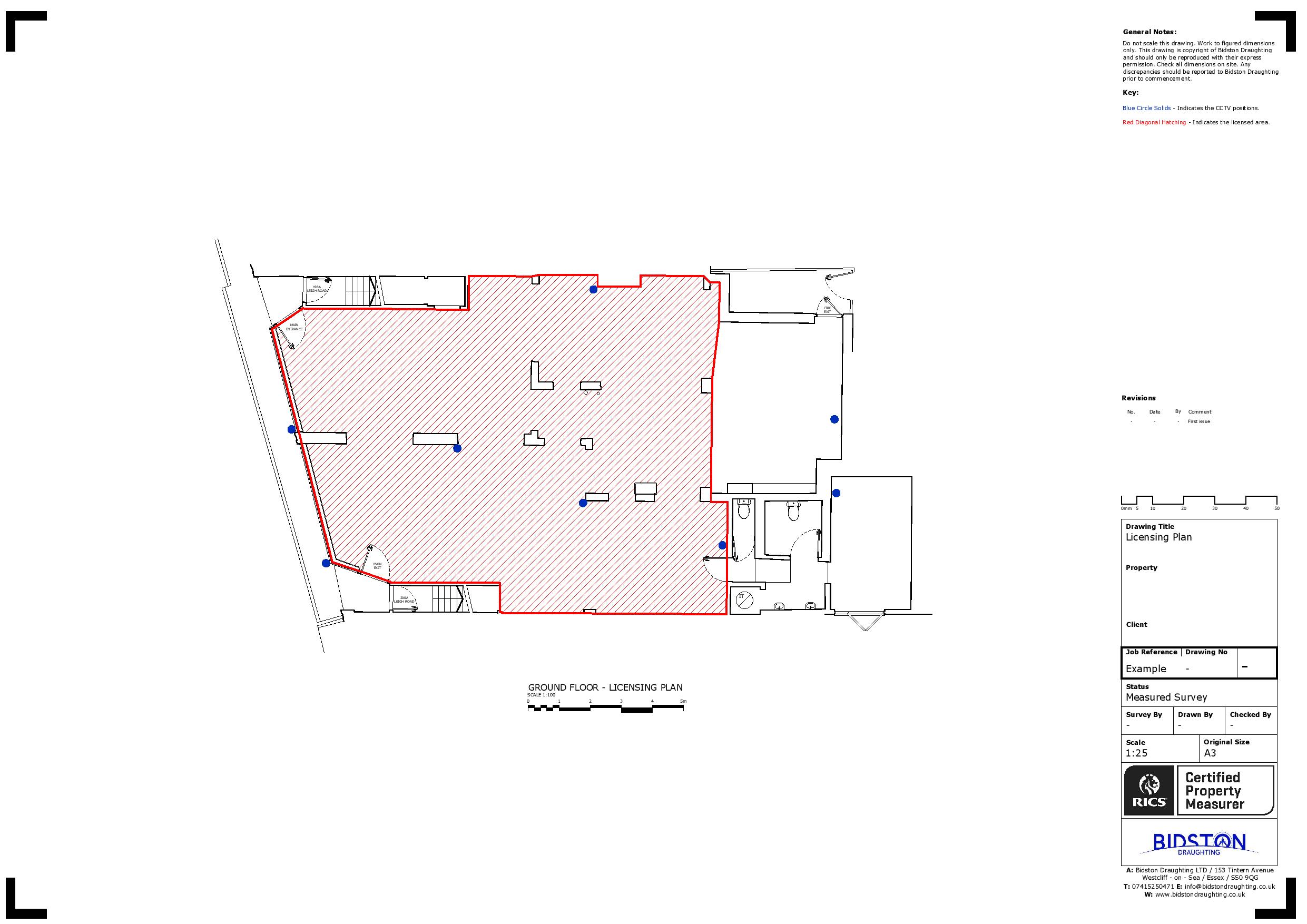
We evaluate the 3D data for accuracy against checkpoints and deliver high-resolution orthophotos, 3D models, or digital twins in GIS and CAD-compatible formats.
We can help you get the surveys and drawings that you need for your projects.
Our draughting team are ready.
Schedule Your Professional 3D Drone Survey with Us
If you require aerial data for your upcoming projects, you can consult with our team for 3D drone surveys in London. Reach out to discuss your project and learn how we efficiently capture detailed site information.
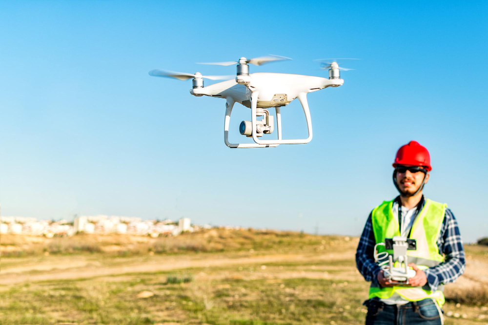
Why Bidston Draughting LTD?
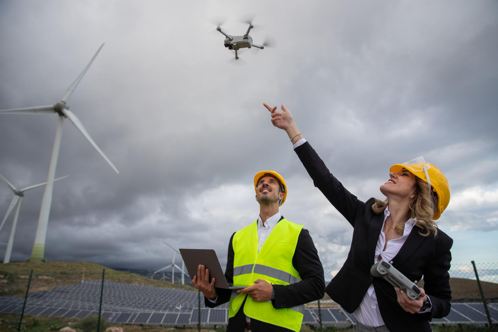
Being one of the premier companies, we are your reliable choice for 3D drone surveying in London. Our services deliver unparalleled detail and accuracy that traditional ground-based methods often lack. Equipped with a professional team and state-of-the-art sensors and software, we convert aerial data into accurate digital models that meet your needs. We stand out in the industry because of our:
- Experienced, Accredited Team
- Cutting-Edge Drone Technology
- Comprehensive Services
- Safe and Compliant Drone Operations
- Proven Results
- Customer-Focused Approach
Core Benefits of 3D Drain Mapping
Regardless of the project’s scope, we are dedicated to delivering top-notch 3D drone mapping solutions that set the industry standard. Our devoted team employs specialised equipment to create detailed digital replicas of real-world environments.
Place your trust in us and embrace the perks of 3D drone mapping, including:
- High accuracy and detail
- Increased safety protocols
- Cost and time efficiency
- Detailed 3D digital twins
- Streamlined progress monitoring
- Strategic decision making
- Precise volumetric analysis
FAQs
How accurate is 3D drone mapping?
3D drone mapping acquires 2–5 cm (0.8–2 inches) precision using specialised machines such as RTK/PPK drones and Ground Control Points (GCPs). This precision makes drones perfect for construction, mining, and topographic surveys.
What key deliverables will I get from a drone survey?
A 3D drone survey provides accurate digital models of sites, structures, or terrain by merging aerial imagery into actionable 3D models. These outputs include:
- 3D Point Clouds
- 3D Textured Meshes
- Orthomosaic Maps
- Digital Surface Models (DSM) and Digital Terrain Models (DTM)
- Volumetric Calculations
- Contour Lines and Mapping
- Inspection Reports
Do drone surveys monitor construction progress?
Yes, drone surveys are effective for tracking construction progress. They offer real-time aerial imagery and 3D data, allowing project managers to track progress promptly and reduce survey time from weeks to days.
How long does a 3D drone survey typically take to complete?
Our 3D survey report includes point cloud data, 2D schematics, and 3D models tailored to your project’s specific requirements.
A 3D drone survey usually takes around 2 to 5 business days for project delivery. This is because the survey covers both on-site data collection and processing. The duration is influenced by site size, complex structures and weather conditions.
What are the applications of 3D drone surveys?
- Construction & Site Monitoring
- Infrastructure Inspection
- Topographic and Land Surveying
- Mining & Quarrying
- Heritage and Archaeological Documentation
- Environmental & Conservation Projects
- Agriculture