

What is Matterport? A Detailed Guide
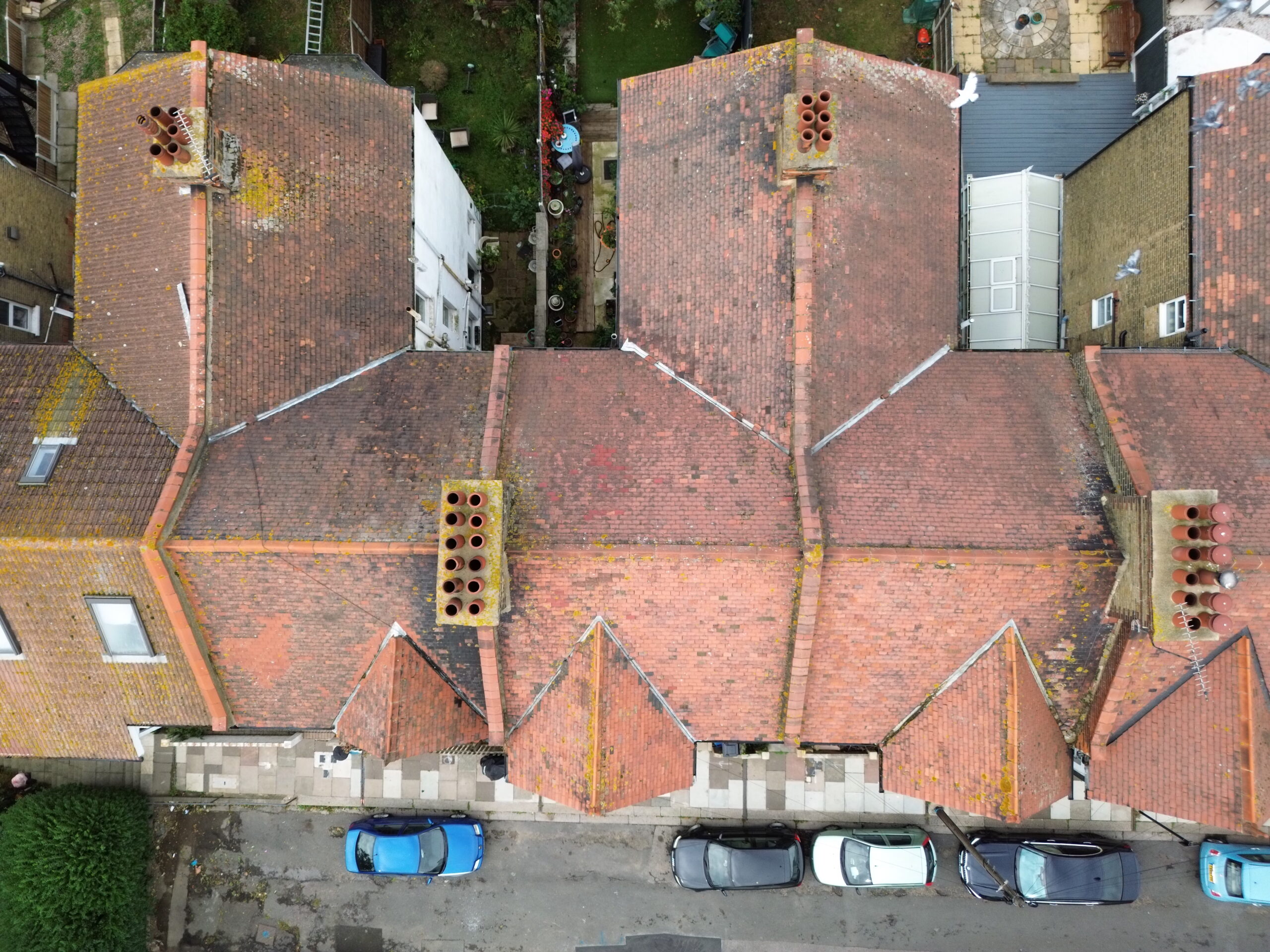
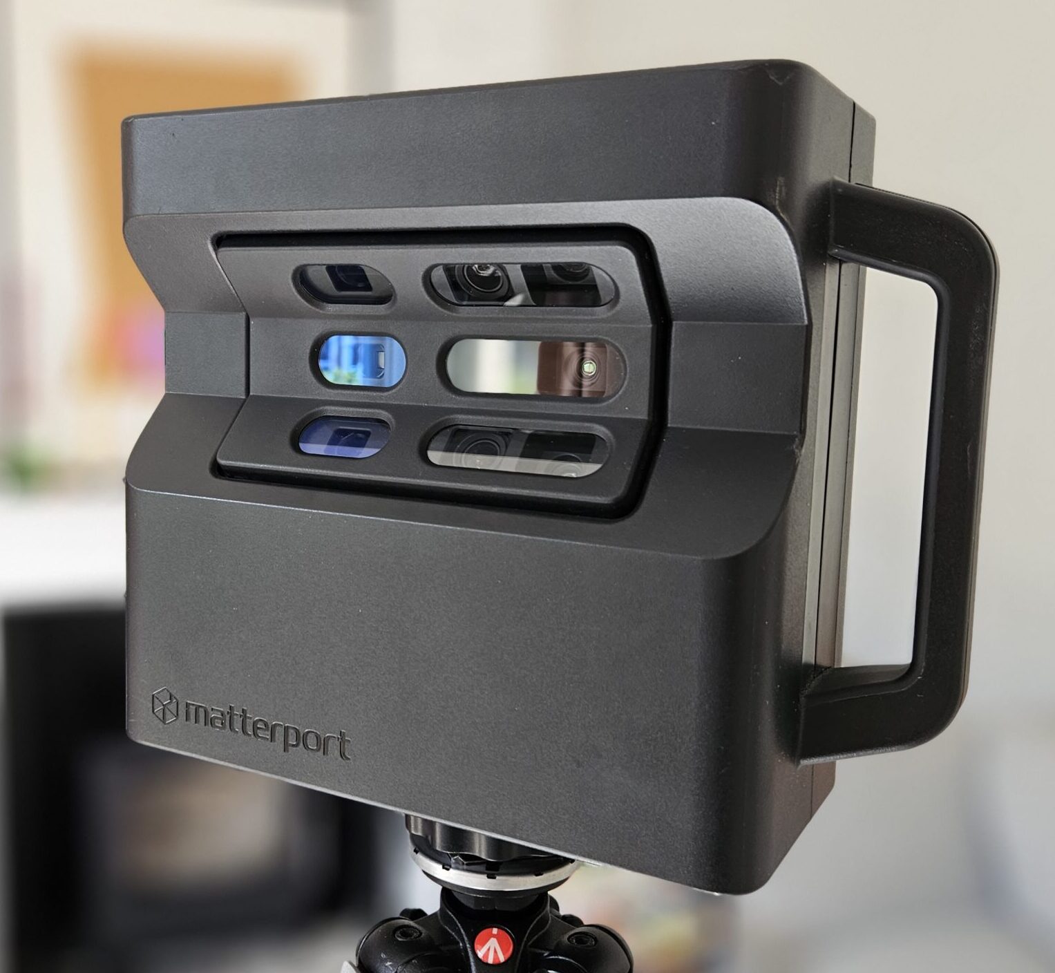
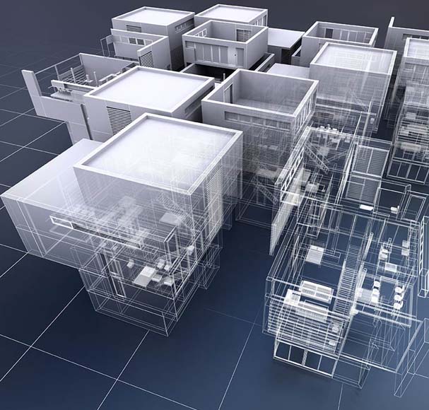
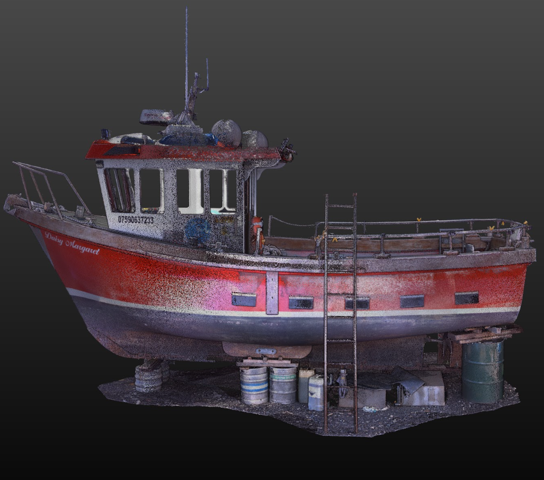
Matterport is a digital 3D scanning technology that allows users to create an interactive virtual experience of any physical location using specially designed cameras or smartphones. Once captured, users can…