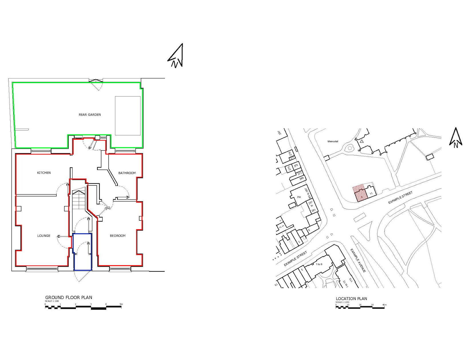
Our Surveying and Draughting Partners

We are able to travel throughout the UK and internationally.

3D Laser Scanning

3D laser scanners enable us to provide architects and engineers with dense, clear data. They are a powerful and efficient tool for capturing highly accurate and detailed data about a building’s structure and layout. we use Faro laser scanners to create pointclouds of a building’s interior and exterior, providing architects and engineers with the information they need to design, renovate and maintain buildings with precision and accuracy. We can provide a point cloud only or create CAD drawings from the pointcloud ready to use.
One of the main advantages of using 3D laser scanning is the high level of accuracy and detail that is achieved. These services can capture detailed data to within millimeters, making it possible to create highly accurate 2D drawings and 3D models of a building’s structure and layout. This level of accuracy is essential for many applications, such as architectural design, building maintenance, and renovations.

Read More

Land Registry Compliant Plan

Land Registry Compliant Plans

Empowering Property Professionals Owning a property demands a clear understanding of its boundaries and dimensions. With ever-changing rules and complicated legal frameworks, it is not wise to own a piece of land without establishing its accuracy and compliance. This is where our quality Land Registry compliant plans services can be a helping hand for you. Our services bridge the gap between imagination and reality, ensuring that your property rights are safe, boundaries are crystal clear, and your dream of property ownership is fulfilled justly. Whether you’re a visionary developer, a budding homeowner or a meditative investor, let our trusted and professional surveyors handle your matter of land. Visit our place, where precision meets peace of mind, and avail reliable, quality and affordable services. See more about our Lease Plans & Title Plans.


Read More

Measured Building Surveys

Measured Building Surveys are a pack of several things that combine to create an in-detailed building plan. Accurate area and site dimensions for both building and ground levels Dimensions of all building elements, including windows, doors, and walls 3D spatial location in relation to nearby sites and buildings. Reflected ceiling plans for lighting and other services installations Room details, including orientations, shapes, and dimensions Ironmongery schedules for windows and doors, including operational details like latches and keyed locks. Location and details of existing services such as drains and water pipes.

Read More about Commercial Measured Building Surveys

Read More about Residential Measured Building Surveys

Drone Surveys

In the world of property, precision and efficiency are paramount. Imagine having the ability to inspect roofs, document developments, or conduct property surveys with a high level of detail and in record time. That’s the power of drone imagery and videos. In this article, we’ll explore how this innovative technology can be harnessed for roof inspections, before-and-after documentation of developments, property surveys, and how it can boost your SEO ranking.

>Roof Inspections Elevated – Traditional roof inspections can be time-consuming and often require ladders, scaffolding, or even risking safety. With drone technology, you can capture high-resolution images and videos of roofs, even in hard-to-reach areas. Drones equipped with specialized cameras can identify issues like damaged shingles, leaks, or structural problems, providing property managers with a comprehensive view of a property’s condition. This not only enhances safety but also reduces costs and expedites the inspection process.

Read More

Topographical Surveys

Topographical surveys are land surveys that measure and map a piece of land’s physical features and characteristics. These features may include the terrain’s elevation, contours, vegetation, water features, and man-made structures. Topographic surveys are typically used to create detailed maps or plans for land development, construction, engineering and other purposes.

Bidston Draughting is a topographic survey company that provides services all across the UK, with a strong presence in Essex. Our team of skilled surveyors utilises the latest technology and methods to ensure accurate and comprehensive results for all our clients.

Read More

Matterport Virtual Tours

Elevate Your Architectural Vision with Matterport Virtual Tours – In the fast-paced world of architecture, interior design, property development, and real estate, staying ahead of the competition is crucial. Embracing innovative technologies is no longer optional – it’s essential for success. Enter Matterport Virtual Tours, powered by the Matterport Pro 2 with its impressive 140MP 360 camera. In this article, we’ll explore how this cutting-edge tool can revolutionise your approach to design, development, and property marketing, while also boosting your SEO rankings.

A Virtual Blueprint for Architects – Architects have long relied on blueprints and 3D models to convey their designs. With Matterport Virtual Tours, you can take your clients on an immersive journey through your creations. This technology allows you to showcase every detail of your architectural vision in a user-friendly, interactive format. Clients can “walk” through the space, gaining a deeper understanding of the design, flow, and spatial relationships. This level of engagement can help secure contracts and streamline the design review process.

Read More

MEP Design

Dedicated to pioneering solutions and streamlined project execution. Situated in London and around the South of England, our reach extends globally allowing us to undertake projects in diverse locations worldwide. We can assist with Building information modellig, BIM management, BIM to scan, M&E design consultancy, clash detection, COBie / Asset Data management and much more. With a wealth of expertise spanning Fit Out (CAT A & B), Commercial, Residential, Data Centre, and education sectors, we bring extensive experience to every endeavour. Regardless of project scope, we meticulously navigate from conceptualisation to fruition, ensuring a holistic, progressive service at every stage.

Read More

3D Laser Scanning Services

Marine Activities Surveying

Services to meet the unique needs of vessel owners, marine construction firms, port authorities, and coastal development projects. Includes As-Built drawings for vessels, pontoons, and sea walls, Hydrographical surveys, Topographical Surveys.

Our expert team specialises in creating accurate and detailed as-built drawings for vessels, pontoons, sea walls, and other marine structures. Whether you need documentation for maintenance, renovations, or regulatory compliance, our precise drawings ensure clarity and reliability.

Read More

As-Built Steel Surveys

As the construction journey draws to a close and settles, the significance of as-built drawings emerges. Unlike the foresight of design and the meticulousness of shop drawings, as-builts document the tangible reality post-construction. They embody the culmination of numerous decisions, adaptations, and real-world alterations that transpire during the construction process. As-built drawings offer a snapshot of the constructed reality, depicting deviations from initial plans and showcasing the true essence of the built environment. Take, for instance, a commercial interior project. As-built drawings would illustrate the actual placement of walls, electrical outlets, and plumbing fixtures, accommodating any modifications necessitated by unforeseen conditions or on-site adjustments. Serving as a vital record, as-built drawings facilitate future renovations, maintenance, or repairs by providing stakeholders with an accurate depiction of the built environment.

Read More

0
Laser Scans Captured
0
Drawings Issued
0
Surveys Completed
0
Public liability and professional indemnity up to £1M

We can help you get the surveys and drawings that you need for your projects.

Our draughting team are ready.

Our Recent Works

Land Survey Blog
February 23, 2024

What is a Land Survey | A Comprehensive Guide

Investing in a land survey is a wise option as it helps solve property disputes and plan construction. It provides information about the property and makes it easy to get…
Cost of Property Surveys Blog
November 24, 2023

What is the Cost of Property Surveys?

Whenever you plan to buy a property, you want the one in the finest condition and meeting the legal standards so that you may not face any legal issues or…
Floor Plans Blog
November 2, 2023

What Are Floor Plans? When Do You Need Them?

What are Floor Plans? Floor plans are technical drawings prepared on the scale of your property and depict the relationship between its physical features, such as rooms and spaces. They…
Land Registry Plans Blog
October 27, 2023

What are Land Registry Plans? What are the Requirements?

What are Land Registry Plans? Land registry documents are essential property documents detailing a given property's features, including boundary information, title information, unique identifiers, and visual representation/drawings. These documents are…
How does it works... Blog
August 17, 2023

Point Cloud Survey: Time Saving, Cost-Effective & Accurate

With time, new and innovative techniques, methods and criteria are developed that have revolutionised the technical approach of man to construction. These new approaches are opening up new ways for…
Surveyors Blog
July 11, 2023

What Are the Different Types of Surveyors? [Detailed Guide]

Surveyors are professionals who measure and map land, buildings, and other structures. They use their skills to collect data, solve problems, and make informed decisions. There are many different surveyors,…