
Registration and Stitching: After completing the individual scans, the point clouds are registered and stitched together to create a unified and comprehensive 3D representation of the entire building or structure. This process aligns the different scans, ensuring accuracy and eliminating any discrepancies.
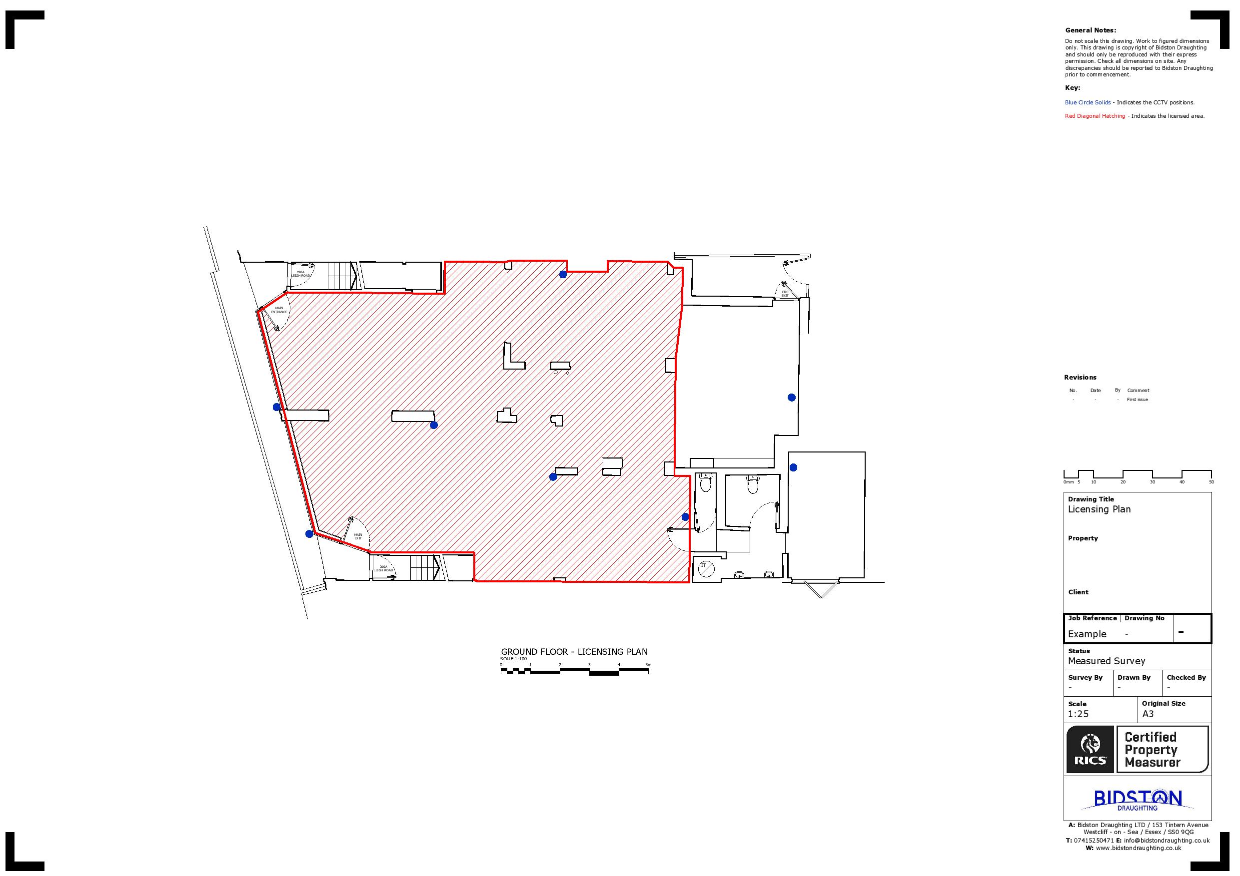
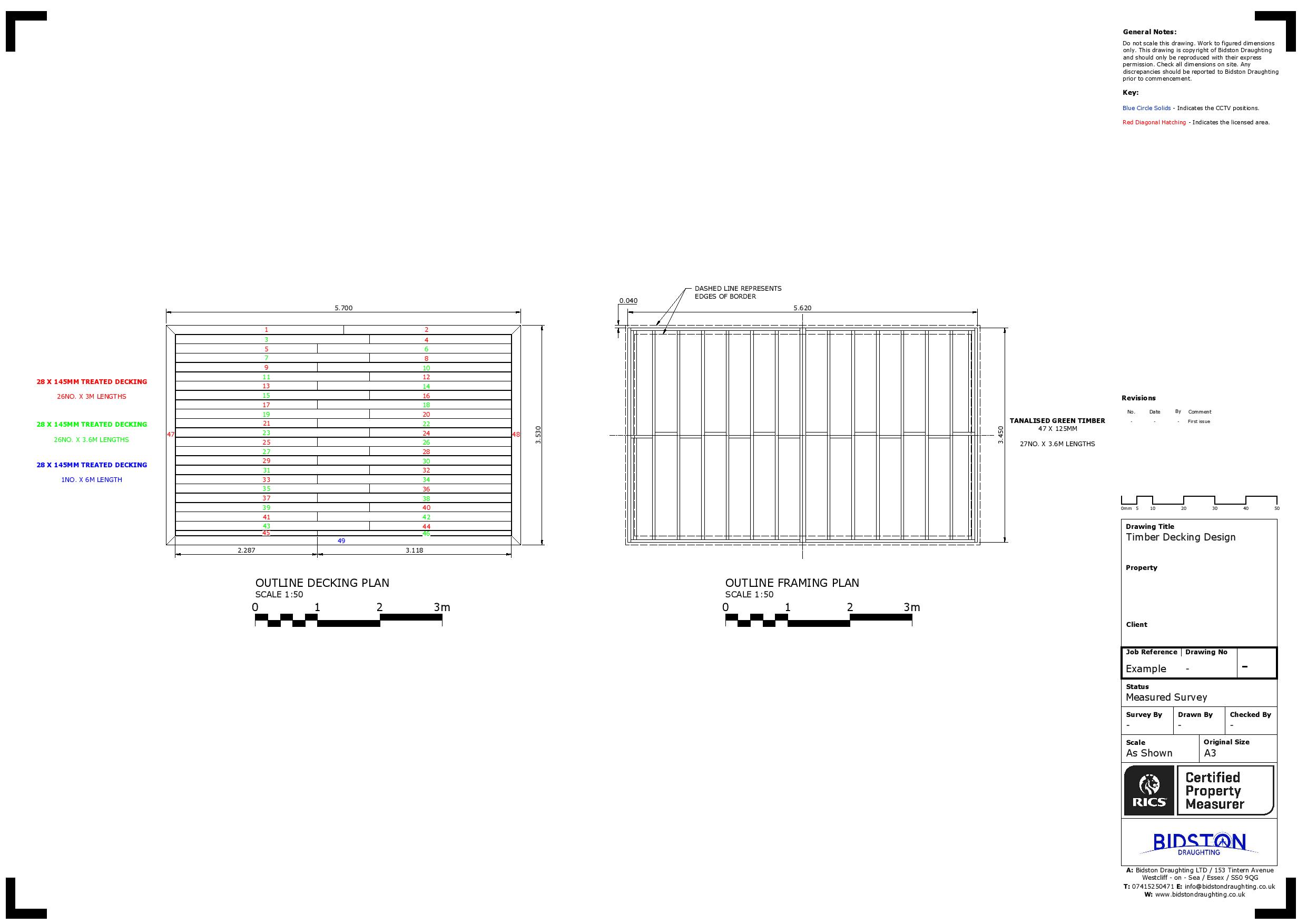
Data Processing and Modelling: The point cloud data can be further processed using specialised software to remove unwanted elements, such as moving objects or noise. The processed point cloud can then generate accurate 3D models, floor plans, sections, elevations, or other documentation as required.
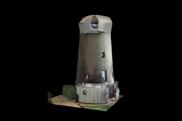
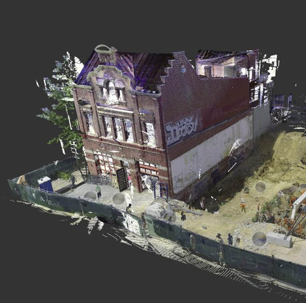
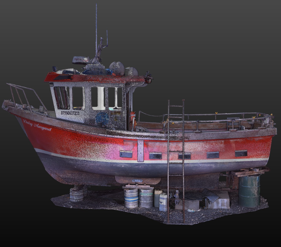
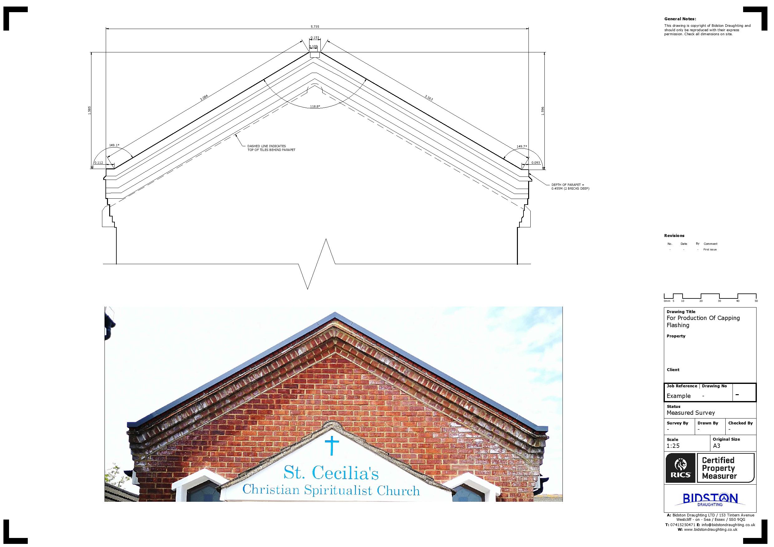
Analysis and Visualisation: The 3D models derived from the laser scanning data can be analysed and visualised to extract valuable information. This includes measurements of distances, areas, volumes, and precise geometric details of the building.