
Measured Survey in Kent
Reliable Partner for Measured Building Surveys Near You
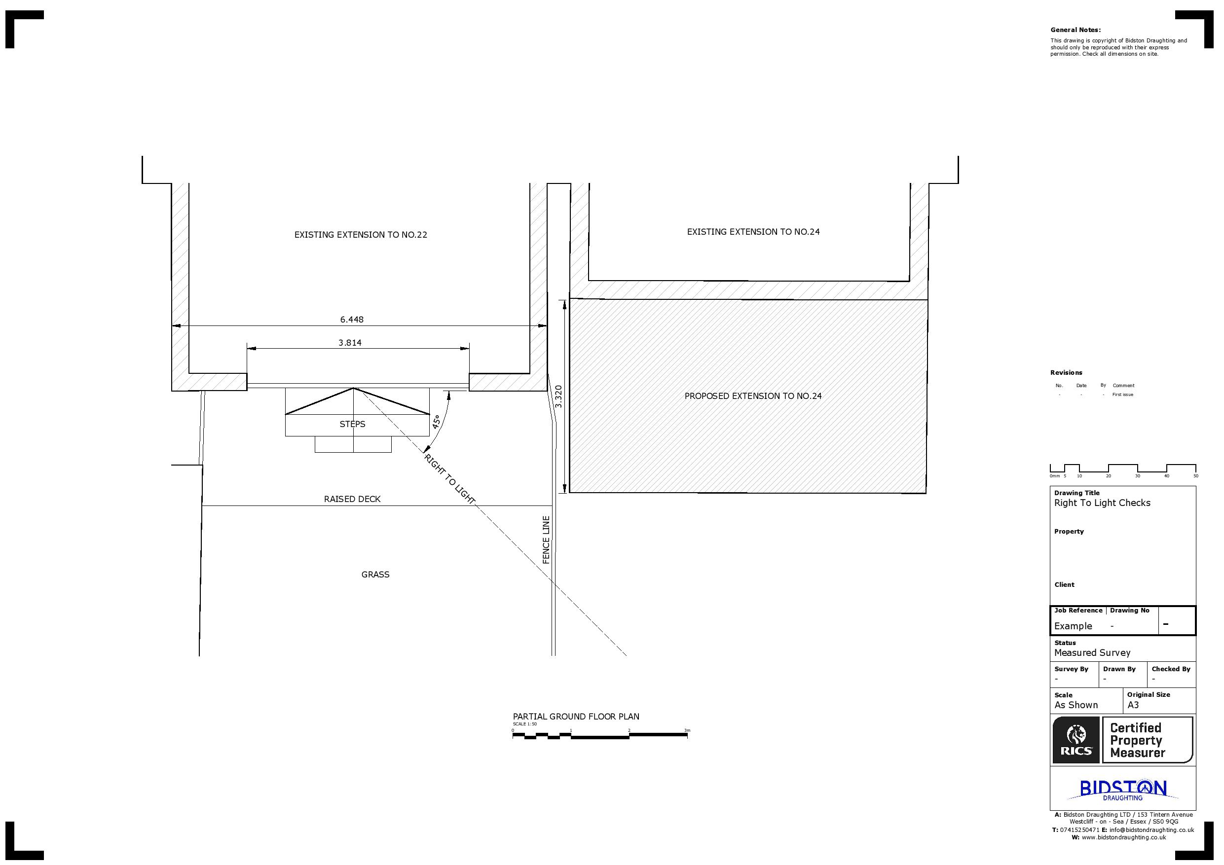
Bidston Draughting provides measured building surveys in Kent, accurately capturing building and structure dimensions to produce detailed drawings or 3D models. Our surveys, conducted via professional surveyors, cover essential elements such as floor plans, external and internal elevations, 3D visualisations, and structural components. This comprehensive data supports a wide range of projects and empowers our clients with unparalleled insights and high-quality information.
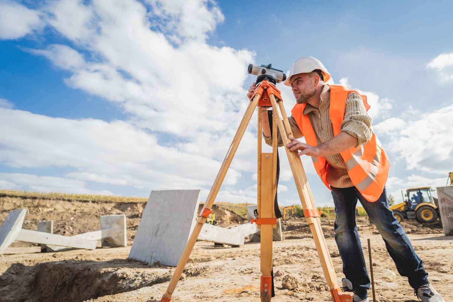
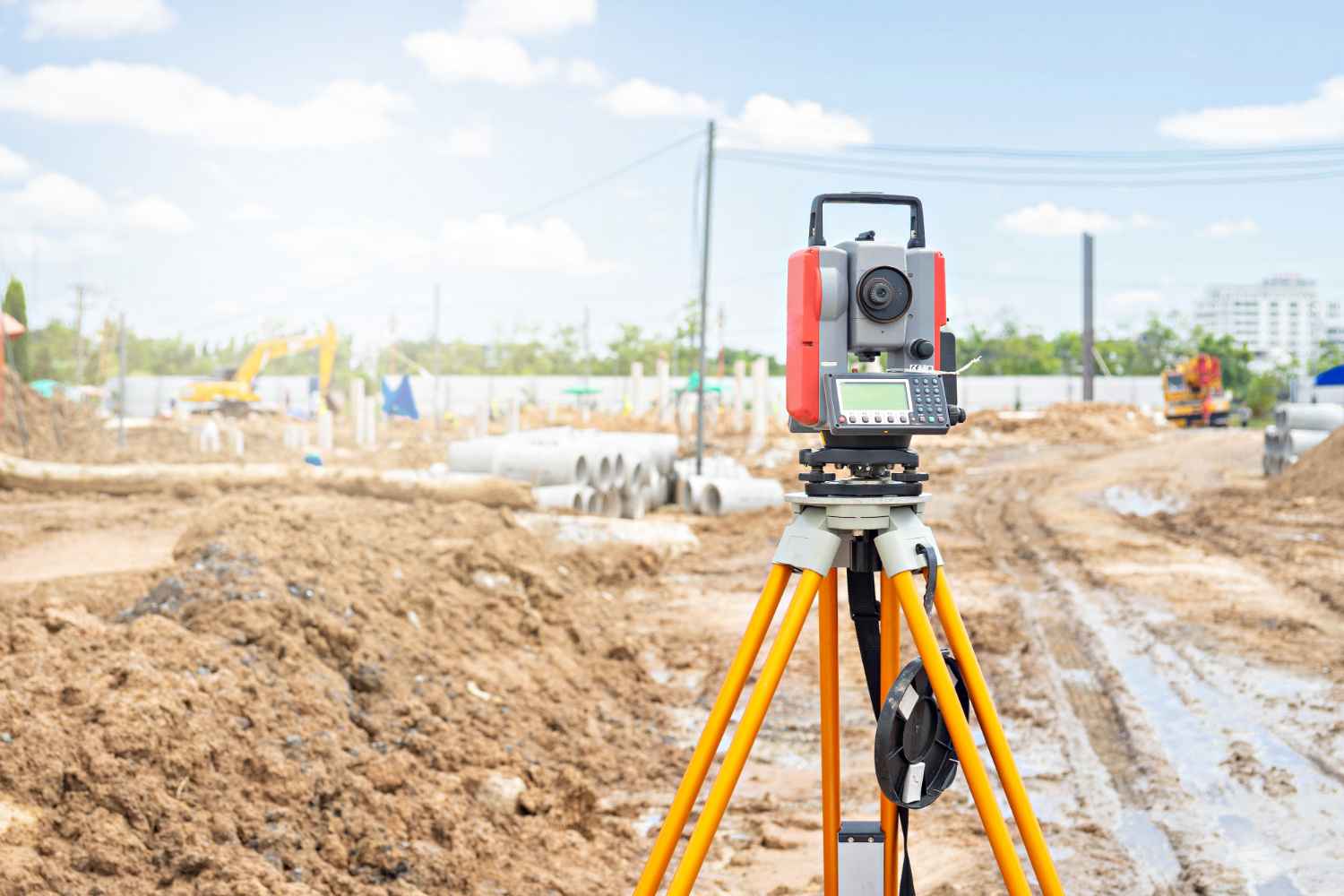
Our experienced team is committed to delivering excellent services to a diverse clientele, including property developers and businesses focused on heritage conservation. Using laser scanners, total stations, drones, and traditional equipment like tape measures and spirit levels, we offer accurate, dependable data for various applications—be it architectural design, refurbishment, or renovation.
Don’t hesitate to reach out to us today to discuss your project and learn how we can assist you.
Fill Up the Form
Our Services
Land Registry Compliant Drawings
Our Land Registry Compliant Plans can be completed with a fast turnaround to match the legal documents of your property. This includes Freehold Title Plans, Lease Plans, Boundary Plans giving a Comprehensive Service for Property Owners.
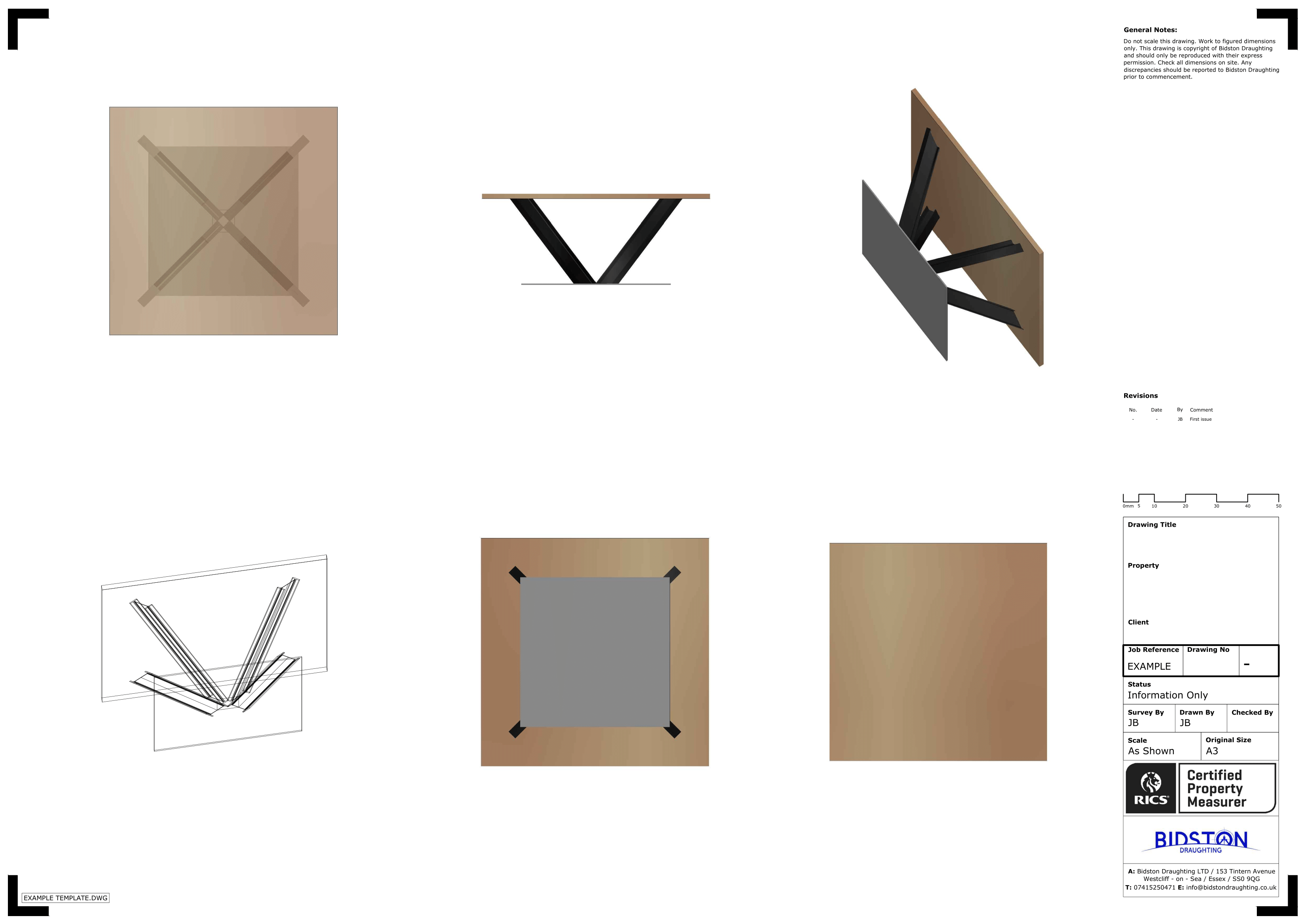
3D Laser Scanning
3D Laser scanning is technology used to capture the reality of a site, this can be used in multiple professions. It can be used in our case to map sites and buildings, or it could be used to capture a traffic accident so forensics could return to the scene years later from a PC.
Drone Surveys
Inspect roofs, document developments, or conduct property surveys with a high level of detail and in record time. That’s the power of drone imagery and videos.
Topographical Surveys
Topographical surveys are land surveys that measure and map a piece of land’s physical features and characteristics. These features may include the terrain’s elevation, contours, vegetation, water features, and man-made structures.
MEP Design
Dedicated to pioneering solutions and streamlined project execution. We can assist with Building information modelling, BIM management, BIM to scan, M&E design consultancy, clash detection, COBie / Asset Data management and much more.
Title Plans
We specialise in providing accurate and detailed Land Registry Compliant Title Plans tailored to meet your specific requirements. Our team of experienced professionals understand the importance of precision and compliance when it comes to land documentation.
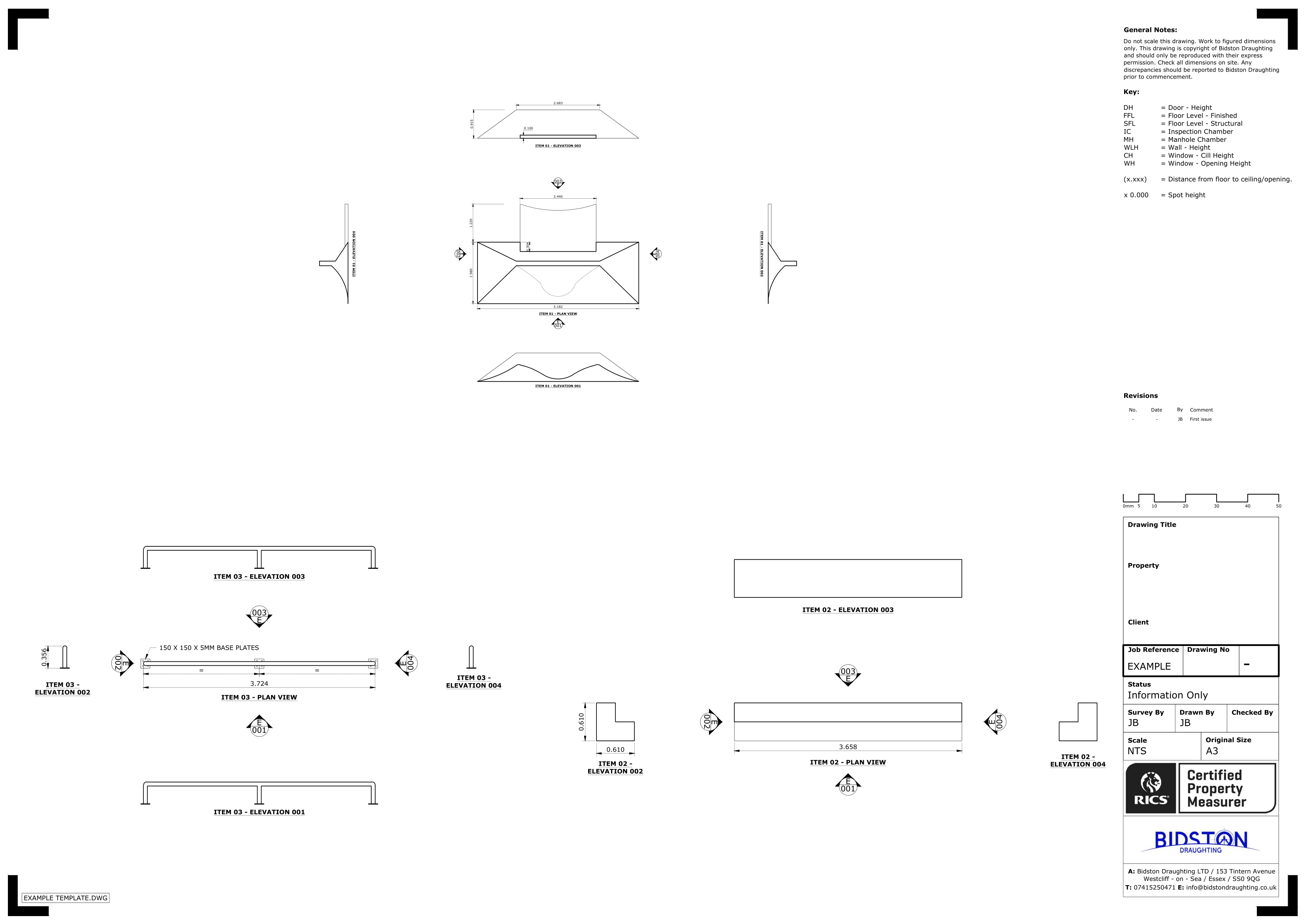
Our Professional Measured Survey Services
In modern times, the success of any construction project hinges on meticulous planning and dependable information, with accurate measurements being crucial. Our specialists utilise state-of-the-art tools and methods to conduct measured survey services that facilitate precise construction and design projects.
Our expert measured survey services typically include:
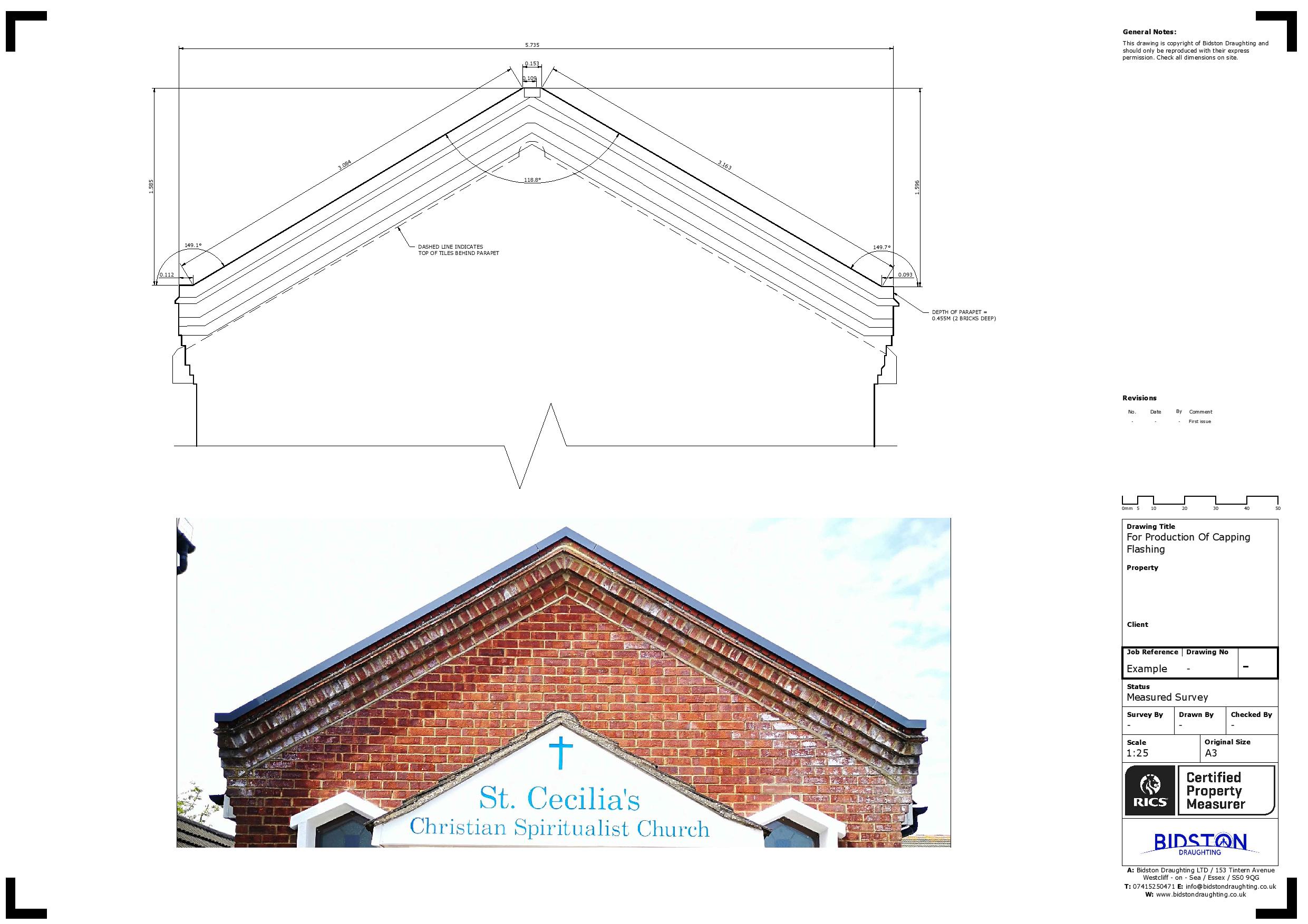
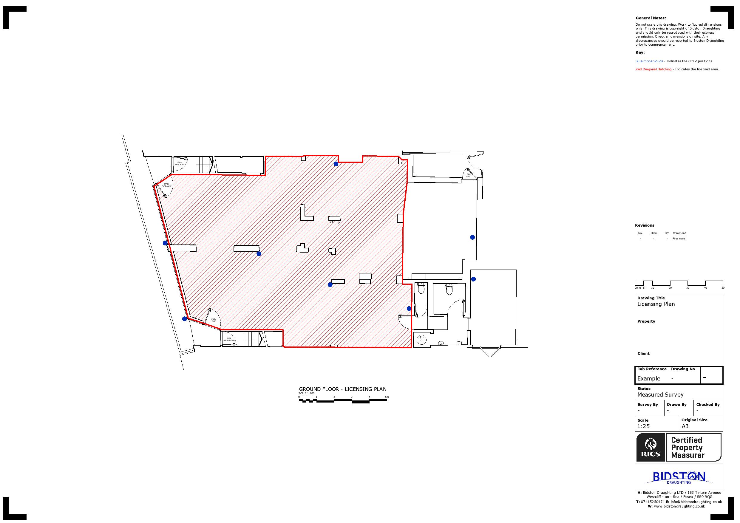
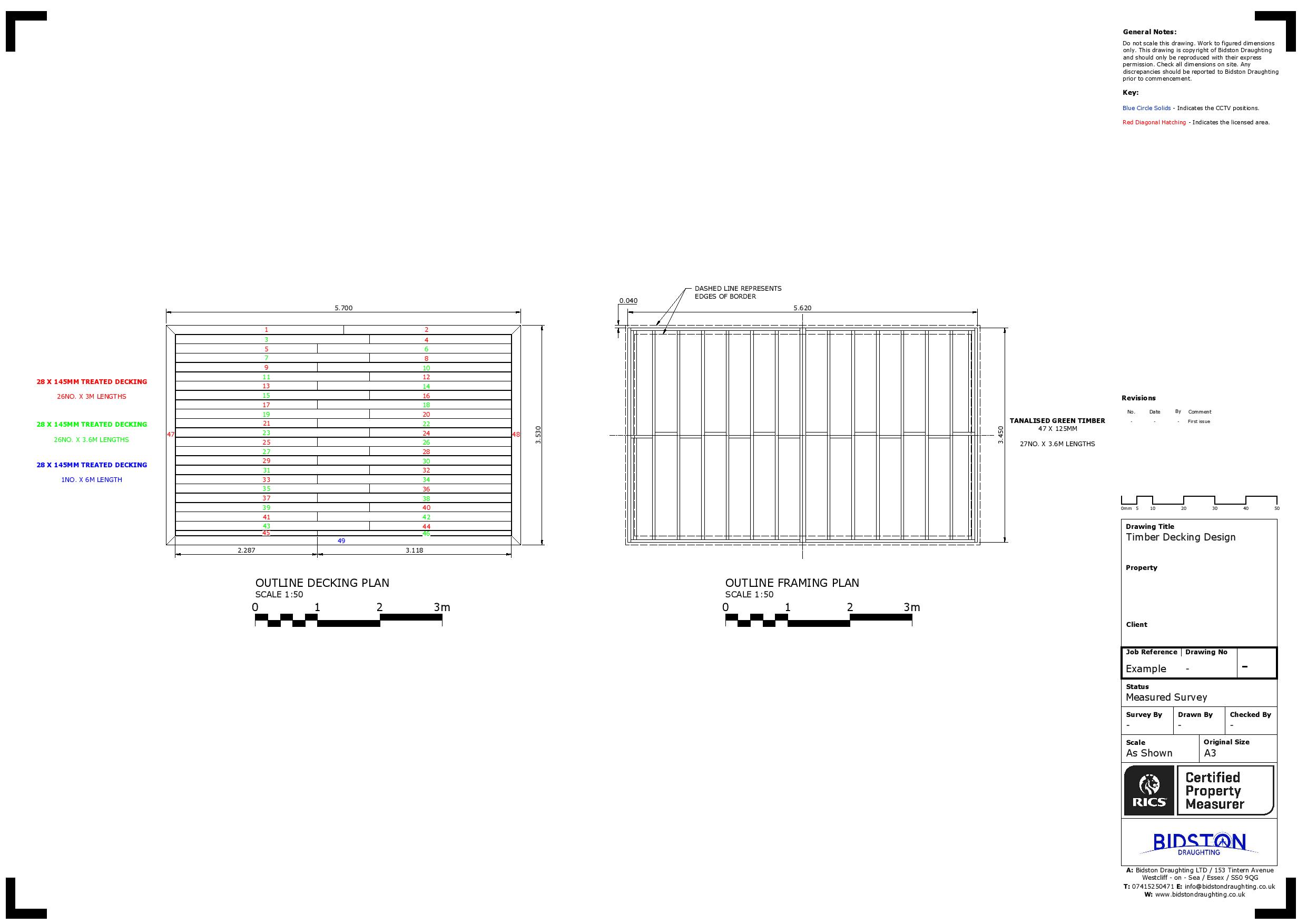
- Measured Building Surveys: Conducting comprehensive evaluations of buildings, such as floor plans, elevations, sections, and roof plans.
- 3D Laser Scanning: Using advanced laser technology to capture precise 3D models of structures and sites.
- Utility Surveys: Detecting and mapping underground utilities to avert potential dangers and promote secure construction practices.
- Monitoring Surveys: Tracking changes in structures or sites over time, often used to detect subsidence or structural movement.
- Topographical Surveys: Documenting natural and man-made features of a site, including elevation data and contours.
- BIM (Building Information Modelling) Services: Developing integrated 3D models and associated data for building information modelling.
We can help you get the surveys and drawings that you need for your projects.
Our draughting team are ready.

Why Pick Our Measured Building Surveyors?
We pride ourselves on delivering precise building surveys with the essential data for construction, remodelling, or property management endeavours. Here are the key reasons to select our qualified surveyors:
- Accuracy and Reliability
- Comprehensive Documentation
- Informed Decision-Making
- Risk Reduction
- Efficient Planning and Design
- Versatile Applications
- Cost and Time Savings
- Record Keeping
- Regulatory Compliance
- Improved Communication
- Efficient Workflow
Get in Touch with Us
Choose Bidston Draughting as your go-to partner for measured building surveys in Kent. We have an experienced team that conducts measured surveys and produces drawings for various buildings, regardless of their age or condition.
You can call us at 020 3576 1705 or email us at kent@bidstondraughting.co.uk to explore a building survey’s transformative power and elevate your property management experience to new heights.
FAQs
How much does a measured building survey in Kent typically cost?
Typically, a measured survey costs between £500 and £2,000, based on the size and intricacy of the property.
- Standard Residential Properties: For a typical house, costs can vary from £500 to £1,500.
- Larger or More Complex Buildings: Commercial properties or intricate designs may cost £2,000 to £5,000 or more.
What outputs can you expect from a measured building survey?
A measured building survey typically produces thorough 2D and 3D drawings, including floor plans, elevations, sections, roof plans, and data like point clouds. These outputs accurately represent a building’s structure and features, such as walls, doors, and windows, and serve various purposes, such as architectural design, construction, and property management.
What equipment measures precise surveys?
Measured building surveys utilise advanced equipment for precise measurements, including:
- Laser scanners
- 3D scanners
- Total stations
- Traditional tools
- Drones
What are the advantages of conducting a measured survey?
- Support Planning Applications
- Reduces Errors
- Improves Time and Cost Efficiency
- Facilitates Better Planning and Design
- Legal Compliance
- Enhances Accuracy
- Versatility and Adaptability
Bidston Draughting Ltd
Providing measured surveys throughout Essex, Kent and Greater London. Our full operations can take place anywhere in the UK and Europe, please get in touch to discuss your project.
We are insured up to £1M for public liability and professional indemnity.
Contact us Now
T: 020 3576 1705
E: info@bidstondraughting.co.uk
Offices
E: london@bidstondraughting.co.uk
E: essex@bidstondraughting.co.uk
E: kent@bidstondraughting.co.uk
VAT No. - 462695853