
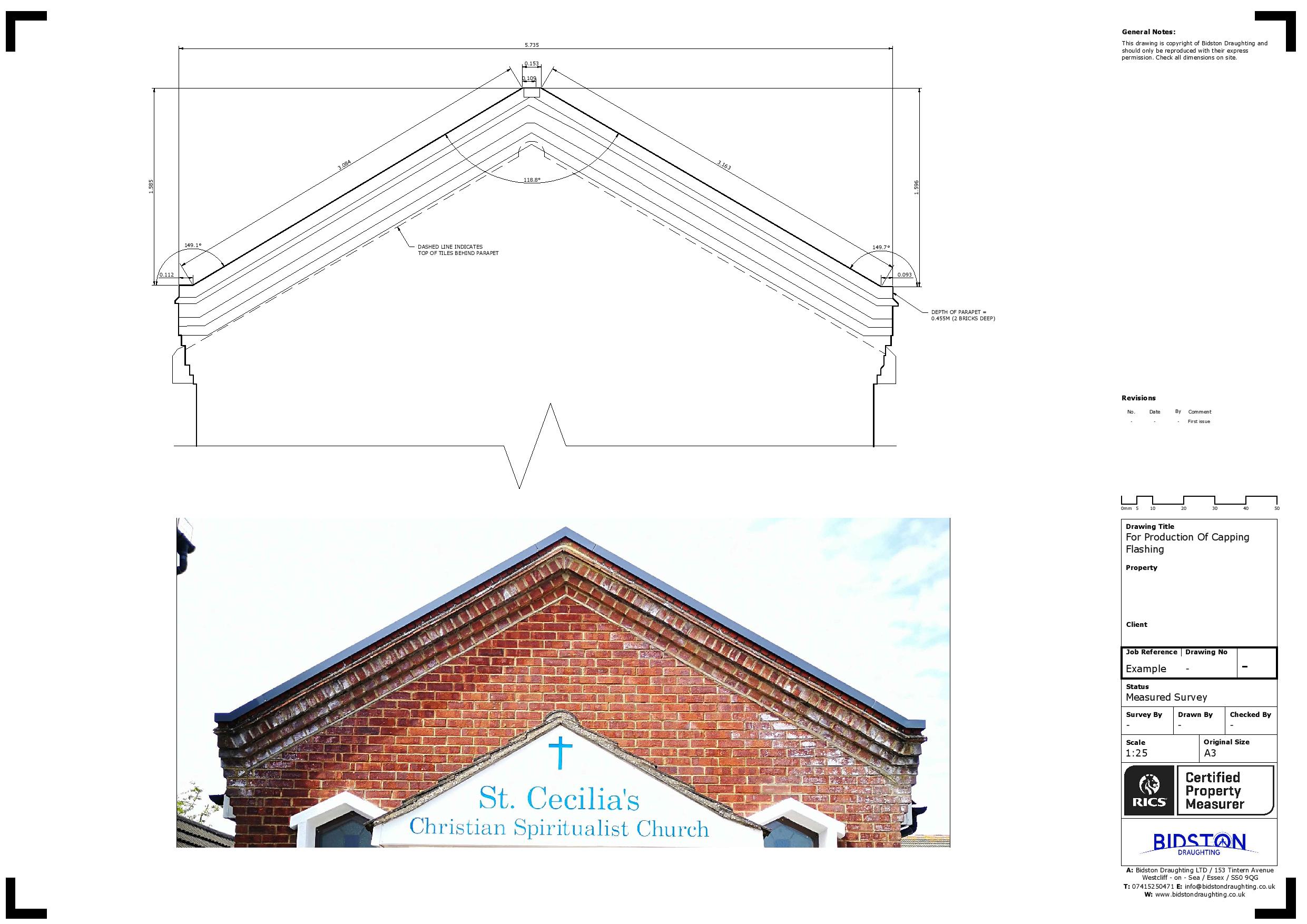
Commercial Measured Building Surveys
A precise commercial measured building survey is an indispensable asset in the design and renovation process, furnishing architects and engineers with meticulously detailed measurements and immersive 3D models of both the interior and exterior of a structure. Leveraging cutting-edge technology and advanced equipment, our surveyors meticulously craft accurate and comprehensive plans that meticulously capture every aspect of a building’s form and structure.
We provide comprehensive measured building surveys for commercial properties, including offices, schools, shopping centres and working building sites.
Fill Up the Form
Our Services
Land Registry Compliant Drawings
Our Land Registry Compliant Plans can be completed with a fast turnaround to match the legal documents of your property. This includes Freehold Title Plans, Lease Plans, Boundary Plans giving a Comprehensive Service for Property Owners.
3D Laser Scanning
3D Laser scanning is technology used to capture the reality of a site, this can be used in multiple professions. It can be used in our case to map sites and buildings, or it could be used to capture a traffic accident so forensics could return to the scene years later from a PC.
Drone Surveys
Inspect roofs, document developments, or conduct property surveys with a high level of detail and in record time. That’s the power of drone imagery and videos.
Topographical Surveys
Topographical surveys are land surveys that measure and map a piece of land’s physical features and characteristics. These features may include the terrain’s elevation, contours, vegetation, water features, and man-made structures.
MEP Design
Dedicated to pioneering solutions and streamlined project execution. We can assist with Building information modelling, BIM management, BIM to scan, M&E design consultancy, clash detection, COBie / Asset Data management and much more.
Title Plans
We specialise in providing accurate and detailed Land Registry Compliant Title Plans tailored to meet your specific requirements. Our team of experienced professionals understand the importance of precision and compliance when it comes to land documentation.

To commence, we’ll arrange an initial consultation to discuss your project requirements and thoroughly understand the site location. We believe that laying the groundwork effectively is paramount for the success of any construction or renovation endeavour. Following our consultation, we’ll provide you with a detailed quote tailored to your specific needs and objectives.
Data Capture
Typically we would spend the first day on your site with a 3D Laser scanner which accurately captures the data on your site. This will pick up everything on your site as long as it is visible.
We can help you get the surveys and drawings that you need for your projects.
Our draughting team are ready.

Software Clean up
Upon completion of the site survey, we employ specialised software to meticulously refine the data, eliminating any inconsistencies or inaccuracies and seamlessly merging the individual scans into a unified project. This process, commonly referred to as reality capture, meticulously replicates your site in digital form, providing a comprehensive and true-to-life representation.
Conversion to AutoCAD
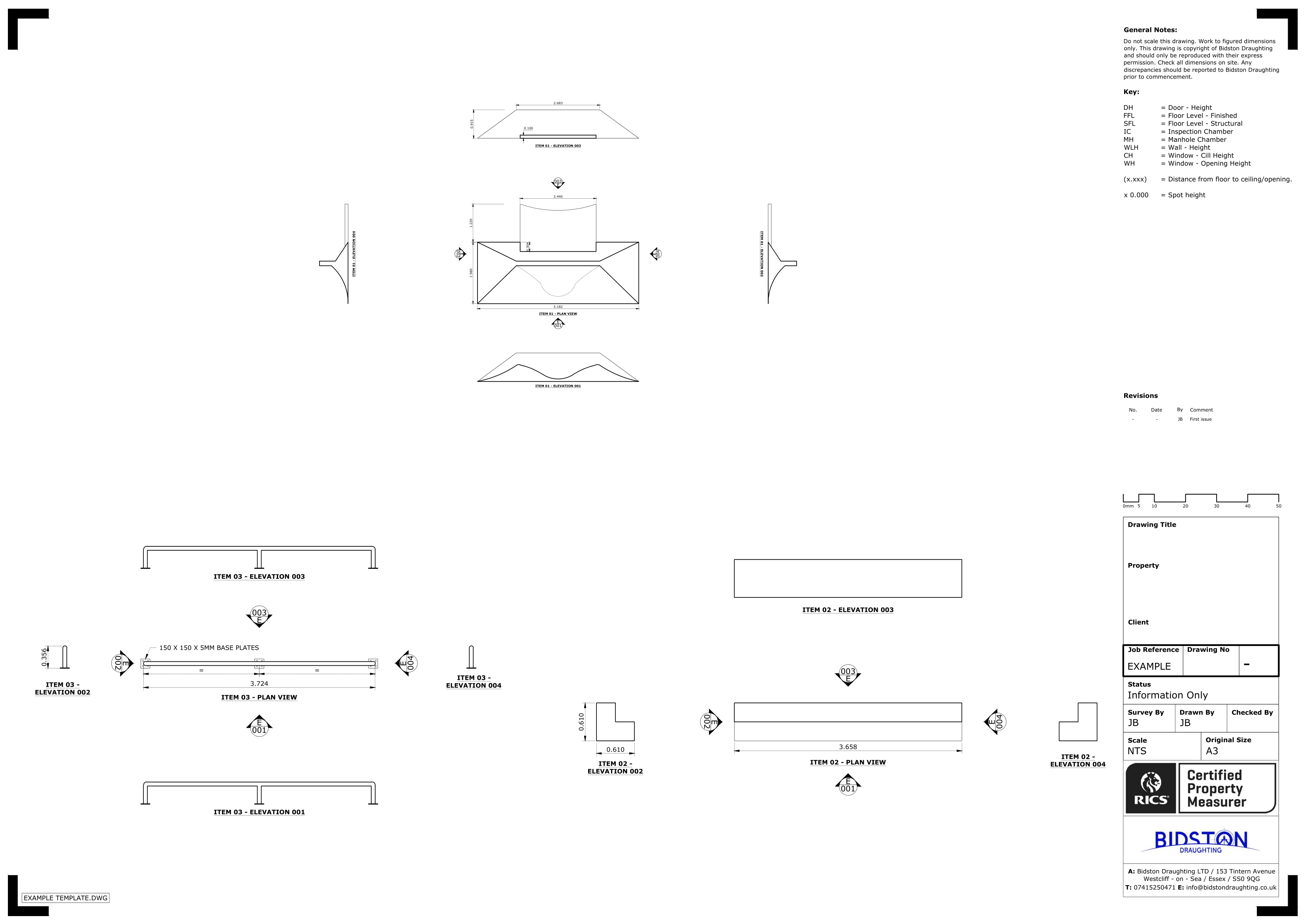
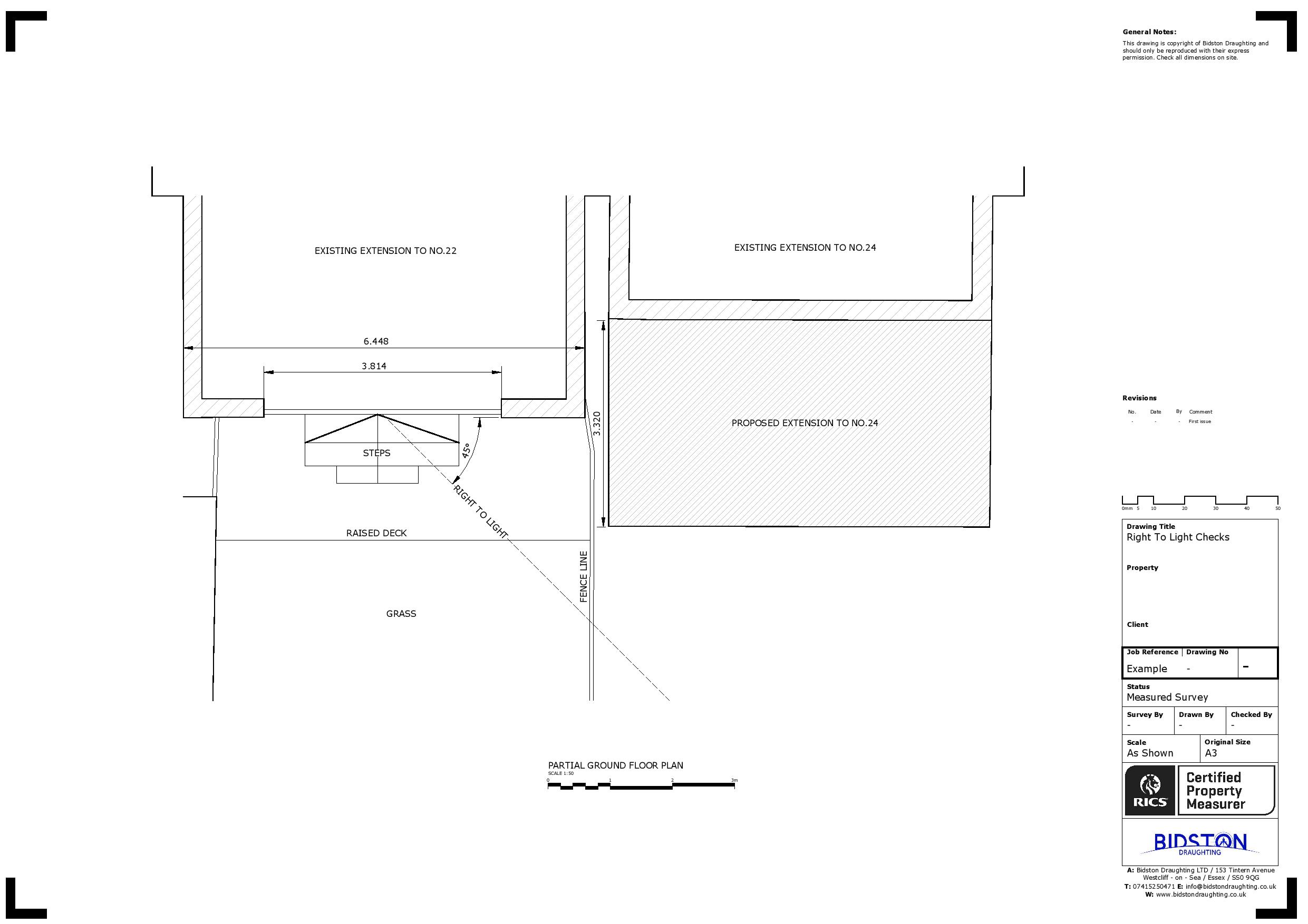
Following data collection, we seamlessly transfer the information into AutoCAD, where it undergoes transformation into various formats, including floor plans, cross sections, internal and external elevations, floor level surveys, and topographical site plans. Utilizing the latest AutoCAD software, we ensure compatibility and precision, delivering the final outputs in both DWG and PDF formats to meet your specific needs.
Bidston Draughting Ltd
Providing measured surveys throughout Essex, Kent and Greater London. Our full operations can take place anywhere in the UK and Europe, please get in touch to discuss your project.
We are insured up to £1M for public liability and professional indemnity.
Contact us Now
T: 020 3576 1705
E: info@bidstondraughting.co.uk
Offices
E: london@bidstondraughting.co.uk
E: essex@bidstondraughting.co.uk
E: kent@bidstondraughting.co.uk
VAT No. - 462695853