
Lease Plans
Land registry compliant lease and title plans are essential documents that provide a detailed and accurate representation of a property’s boundaries, layout, and features. These plans are used to establish ownership of areas to a property and are required by the Land Registry in the UK to register and transfer property ownership.
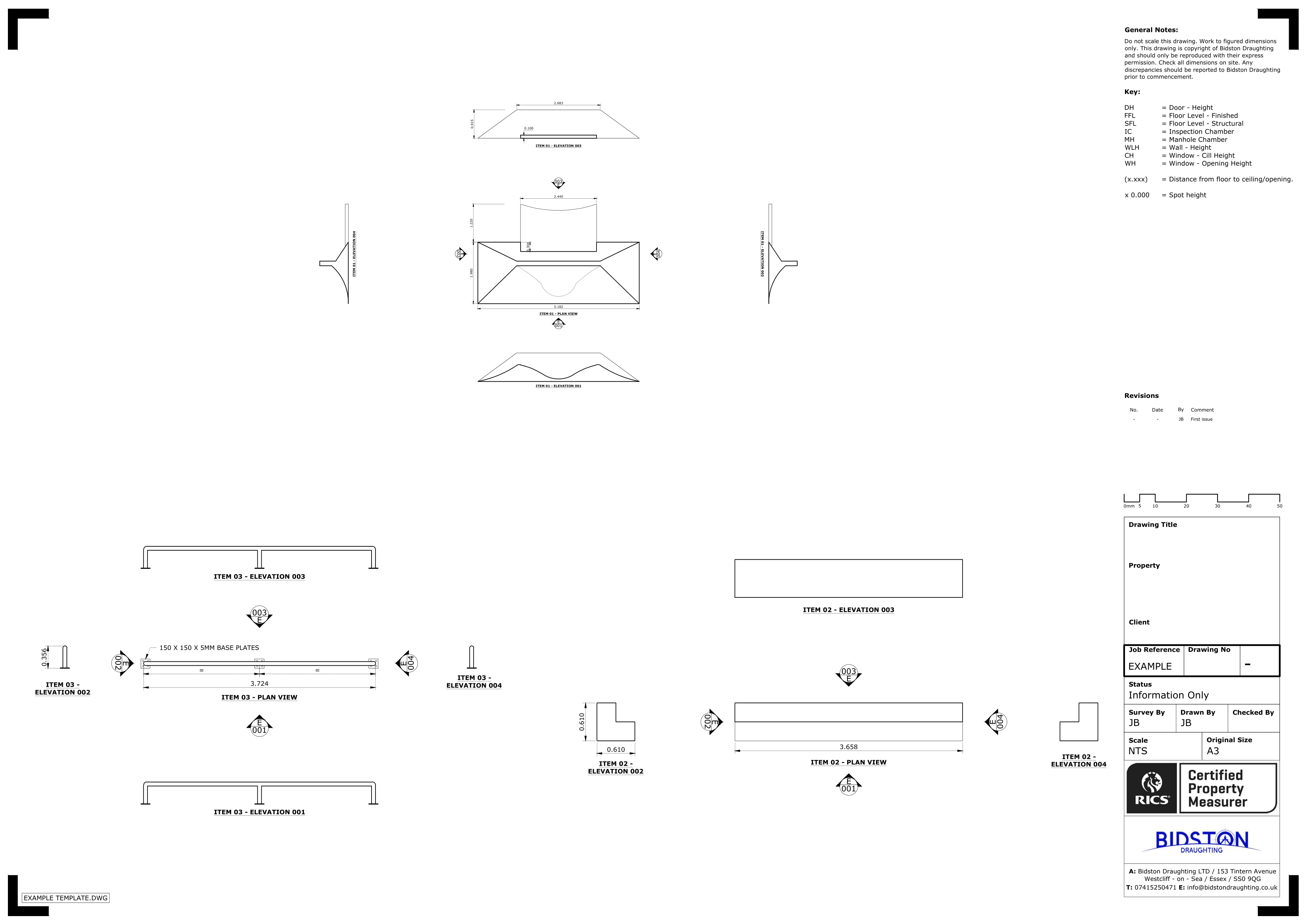
The process of creating land registry compliant lease or title plans involves an accurate survey of the property. This survey is typically carried out by a qualified and experienced surveyor who uses the latest technology and techniques to ensure that the plans meet the strict standards set by the Land Registry.
One of the main advantages of using a qualified and experienced surveyor to create compliant plans is the fine tuned balance of speed and accuracy . These plans must meet the strict standards set by the Land Registry, which means that the surveyor must be able to capture detailed and accurate information about the property aswell as draw them in a clear and presentable manor.
In addition, a compliant lease or title plan is also essential for property transactions such as buying, selling or renting. It is necessary to have accurate and up-to-date plans to ensure that the transaction is carried out smoothly and legally.
Our Services
Land Registry Compliant Drawings
Our Land Registry Compliant Plans can be completed with a fast turnaround to match the legal documents of your property. This includes Freehold Title Plans, Lease Plans, Boundary Plans giving a Comprehensive Service for Property Owners.
3D Laser Scanning
3D Laser scanning is technology used to capture the reality of a site, this can be used in multiple professions. It can be used in our case to map sites and buildings, or it could be used to capture a traffic accident so forensics could return to the scene years later from a PC.
Drone Surveys
Inspect roofs, document developments, or conduct property surveys with a high level of detail and in record time. That’s the power of drone imagery and videos.
Topographical Surveys
Topographical surveys are land surveys that measure and map a piece of land’s physical features and characteristics. These features may include the terrain’s elevation, contours, vegetation, water features, and man-made structures.
MEP Design
Dedicated to pioneering solutions and streamlined project execution. We can assist with Building information modelling, BIM management, BIM to scan, M&E design consultancy, clash detection, COBie / Asset Data management and much more.
Title Plans
We specialise in providing accurate and detailed Land Registry Compliant Title Plans tailored to meet your specific requirements. Our team of experienced professionals understand the importance of precision and compliance when it comes to land documentation.
Bidston Draughting Ltd
Providing measured surveys throughout Essex, Kent and Greater London. Our full operations can take place anywhere in the UK and Europe, please get in touch to discuss your project.
We are insured up to £1M for public liability and professional indemnity.
Contact us Now
T: 020 3576 1705
E: info@bidstondraughting.co.uk
Offices
E: london@bidstondraughting.co.uk
E: essex@bidstondraughting.co.uk
E: kent@bidstondraughting.co.uk
VAT No. - 462695853