
Topographical Surveys in Kent
Topographical surveys play a crucial role in commercial and residential developments, minimising future risks. They help in mapping ground contours and all other features, including buildings, maintenance holes, roads, trees, etc. These surveys can be combined with general and site-specific risk assessments and method statements to get detailed information about a particular construction site.
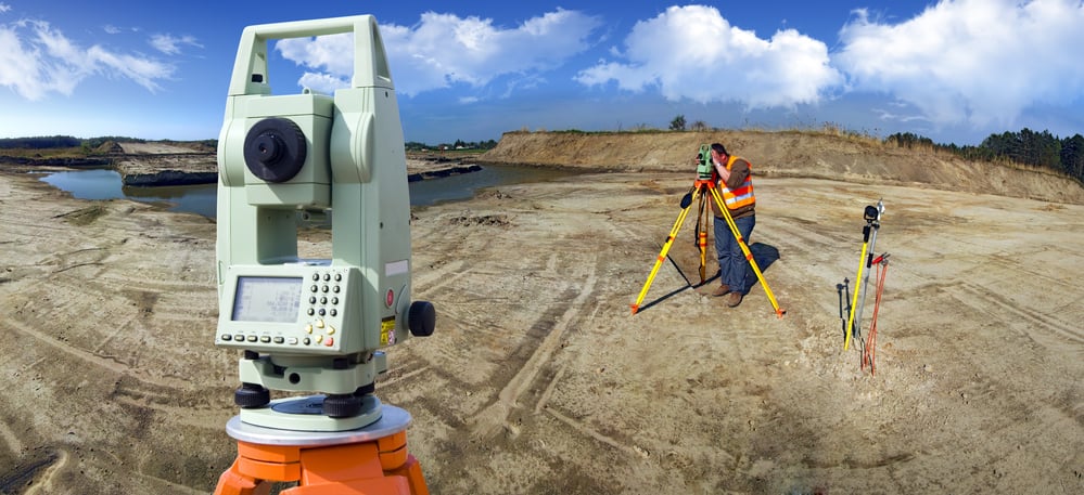
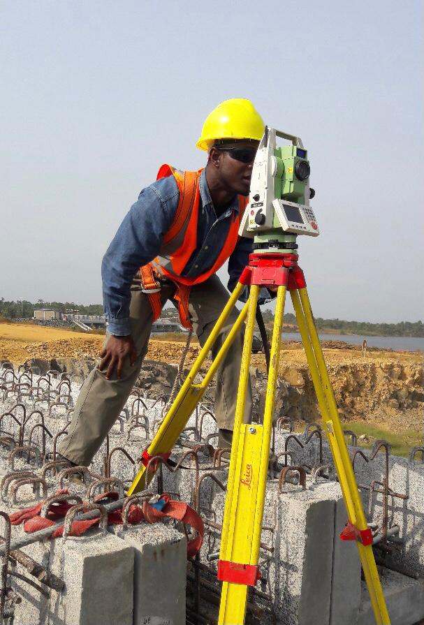
Therefore, you should hire professional experts to get high-quality topographical surveys providing a clear view of fixed features and overall terrain. They help make 2D and 3D survey drawings employing the latest GPS and robotic reflectorless total stations. This way, you can get tailored surveys based on your requirements with ensured safety and strict adherence to the guidelines.
Bidston Draughting has expert topographical surveyors in Kent, providing services for several years. Preparing 2D and 3D plans, we have accomplished several small and large-scale construction and redevelopment projects. We work closely with the architects, undertaking the survey job by focusing on the design details and helping construct the space of your dreams.
Why Do You Need a Topographical Survey?
Topographical surveys facilitate different projects related to:
- Town Planning
- Garden Design
- Industrial Estate
- Landscape Record
- Volumetric Analysis
- Road Improvements
- Sight Line Verification
- Boundary Demarcation
- Slope Stability Analysis
- Coastal Erosion Management
- Existing Surveys’ Verification
- Residential & Commercial Projects
- As-built Highways and Drainage Adoption Surveys
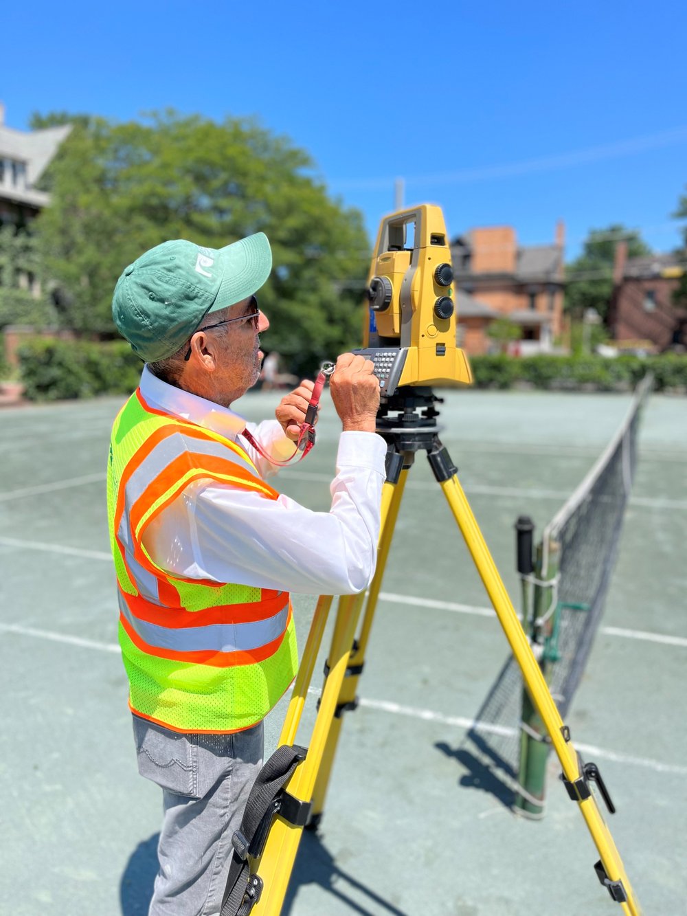

We have the latest GPS and reflectorless technologies, which help capture land topography on or off-site for hard-to-access construction areas, using updated processing software. With the help of a comprehensive field coding system, the site objects are observed and placed within their own layer in the final model generated by the computer.
Our experts process small and large-scale data, incorporating all the contours and producing 2D or 3D plots in various formats and sizes as per the client’s unique requirements.
We can help you get the surveys and drawings that you need for your projects.
Our draughting team are ready.
Topographical Survey Solution | 2 Levels
These are the two levels of our topographical survey services through which we provide the most suitable solution as per your developmental project’s requirements:
Level 1 (Outline Topographical Survey)
We design the level 1 Outline Topographical Survey for:
- Land Registry
- Outline Planning Applications
The survey is referenced to a GPS or OS datum, incorporating all the details related to:
- Boundary Mapping
- Plotted Site Buildings
- Highway Access Routes

Level 2 (Full Topographical Survey)
We follow industry standards for efficiently fulfilling the construction project’s design requirements. Following these standards, we offer a detailed record of all natural and artificial features, such as:
- Paths
- Roads
- Trees
- Boundaries
- Landscaping
- Site Buildings
- Ground Levels
- Water Features
- Drainage Systems
- Connected Services
- Surrounding Properties
We can help you get the surveys and drawings that you need for your projects.
Our draughting team are ready.
Have Your Job Done with Experts!
As a leading topographic survey company, our senior surveyors monitor and check all the surveys, providing complete task records to clients. Our specialists fully comprehend the significance of your project’s unique requirements, getting the job done with ensured legal compliance to health and safety guidelines.
Get in touch with our topographical surveyors in Kent today!
FAQs
What do I get after a topographical survey completion?
After completing the topographical survey, we provide you with a plan of your plot with its vertical slice, representing ground levels and natural and man-made features. We also provide a basic elevation plan, illustration of expected ground levels, record of 3D spot levels, 3D CAD file, and 3D model.
For what purpose 3D spot levels’ CAD files and 3D models are used?
3D spot levels’ CAD file is used for forming 3D String series and is usually required for building lines and kerb. On the other hand, a 3D model uses 3D Points Topographical Data and coordinated 3D Laser Scan Point Cloud.
How are topographical surveys helpful for architects?
Topographical surveys can bring structural modifications to your property, such as new builds and extensions. Architects utilise these plans to prepare design proposals for planning application.
How does a topographical survey help?
A topographical survey helps fulfil individual project requirements, providing a clear view of the construction site by accurately mapping elevations and ground contours. It helps to avoid all the obstacles and potential issues in the early stage of the developmental project’s planning, saving you potential costs.